-7- Page: 1 2 3 4 5 6 7 8 9 10 11 12 13
| split river 1 N42°22'0.94", W74°40'12.76" 2011-04-29 | 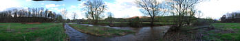
| |
| river barn 1 N42°22'4.36", W74°40'9.52" 2011-04-28 | 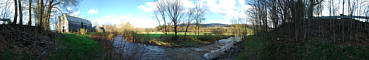
| |
| cemetery hill 1 N42°22'4.08", W74°40'17.67" 2011-04-28 | 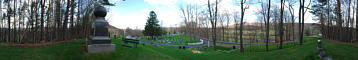
| |
| shandaken falls 2 N42°10'49.91", W74°24'56.68" 2011-04-22 | 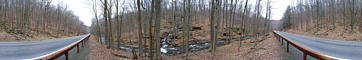
| |
| shandaken falls 1 N42°11'2.56", W74°24'54.82" 2011-04-22 | 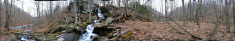
| |
| ashokan sunset 2 N41°57'13.26", W74°12'30.32" 2011-04-17 | 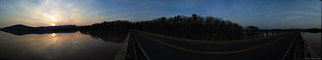
| |
| ashokan sunset 1 N41°57'12.34", W74°12'30.25" 2011-04-17 | 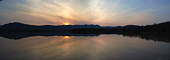
| |
| hobart presbyterian 1 N42°22'13.58", W74°40'9.94" 2011-04-17 | 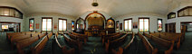
| |
| palenville mountain 7 N42°11'28.33", W74°4'14.04" 2011-04-15 | 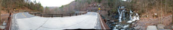
| |
| palenville mountain 6 N42°11'28.36", W74°4'14.31" 2011-04-15 | 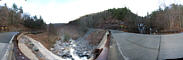
| |
| palenville mountain 5 N42°10'35.50", W74°2'28.76" 2011-04-15 | 
| |
| palenville mountain 4 N42°10'36.47", W74°2'30.89" 2011-04-15 | 
| |
| palenville mountain 3 N42°10'36.31", W74°2'35.06" 2011-04-14 | 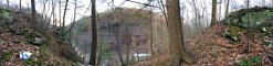
| |
| palenville mountain 2 N42°10'35.87", W74°2'36.41" 2011-04-14 | 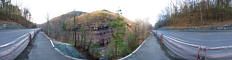
| |
| palenville mountain 1 N42°10'36.30", W74°2'49.33" 2011-04-14 | 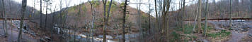
| |
| stream crossing 1 N42°22'40.58", W74°39'37.84" 2011-04-11 | 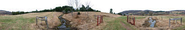
| |
| lost field 1 N42°22'37.17", W74°39'19.71" 2011-04-11 | 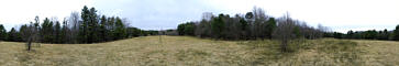
| |
| lost pond 1 N42°22'38.60", W74°39'23.60" 2011-04-11 | 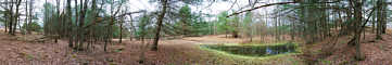
| |
| ent spring 1 N42°22'38.61", W74°39'36.33" 2011-04-11 | 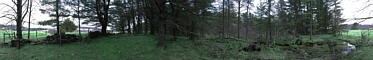
| |
| river view 1 N42°22'30.90", W74°39'49.79" 2011-04-11 | 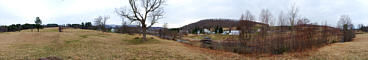
| |
| stamford overlook 1 N42°23'36.74", W74°36'2.19" 2011-04-03 | 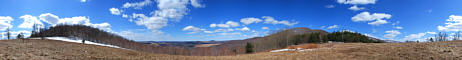
| |
| hobart pond 3 N42°22'17.43", W74°40'4.78" 2011-03-20 | 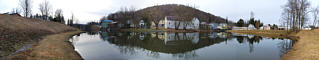
| |
| winter driveway 1 N42°22'10.89", W74°40'9.57" 2011-02-27 | 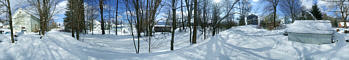
| |
| maple ave bridge winter 1 N42°22'16.69", W74°40'10.61" 2011-02-27 | 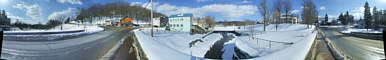
| |
| hobart park winter 1 N42°22'12.41", W74°40'13.62" 2011-02-27 | 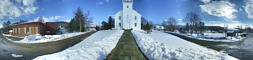
|
-7- Page: 1 2 3 4 5 6 7 8 9 10 11 12 13